|
|
|
| |
|
|
| |
- Real-Time Updates
-
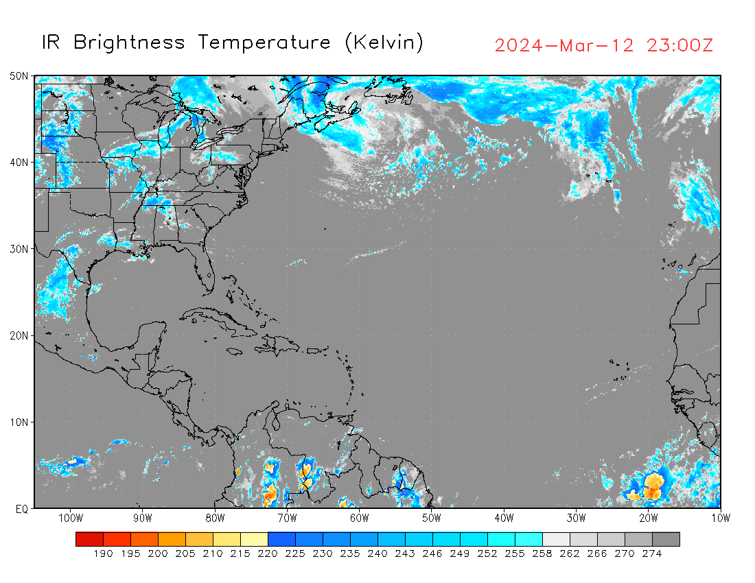
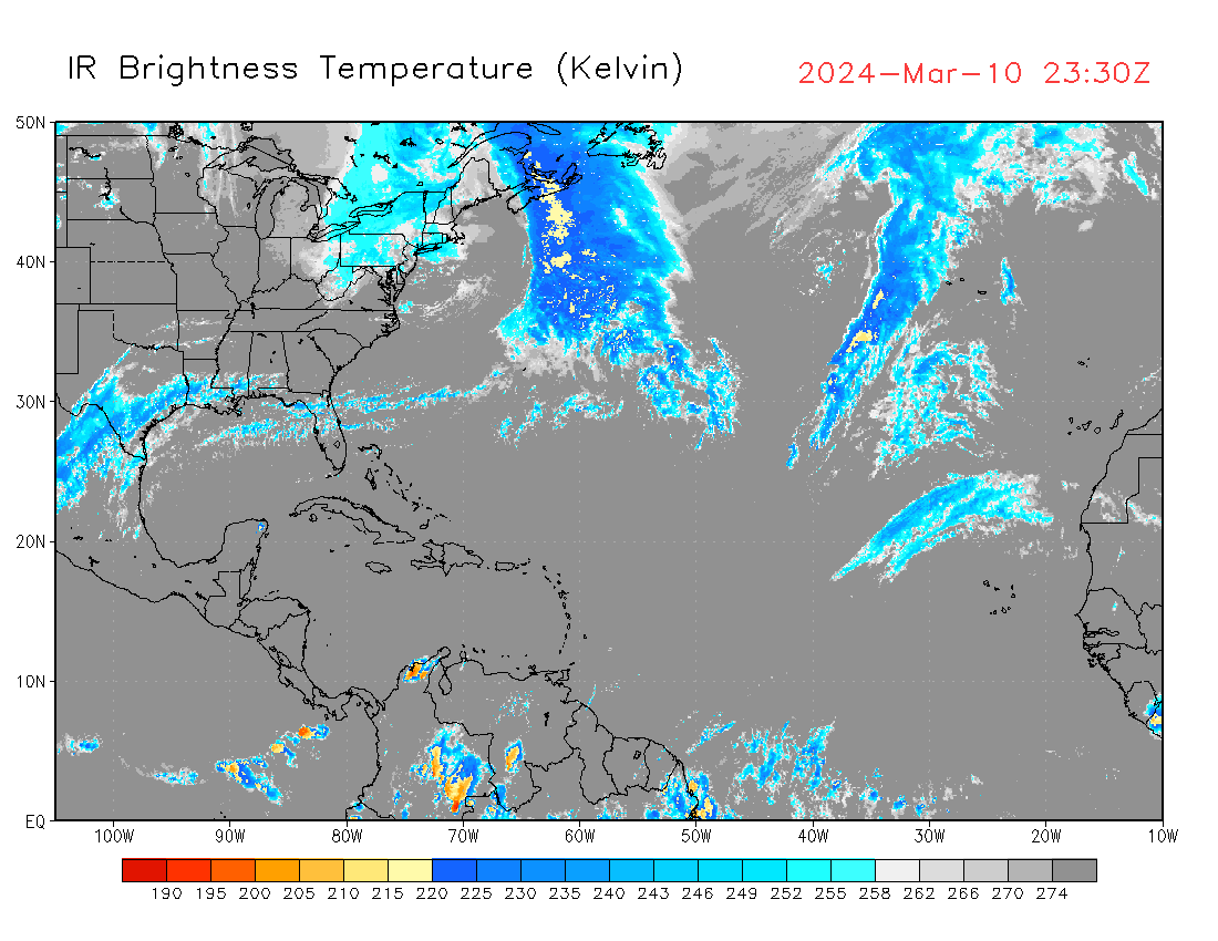
Merged-IR products are high-resolution (the spatial resolution is 0.03637...x0.03638...-deg lon/lat, about 4-km at the Equator, and the temporal resolution is 30-min) IR BT data covering 60S-60N global domain, using data from 5 geostationary satellites (currently Himawari-8, GOES-15, GOES-16, METEOSAT-8, and METEOSAT-11). Data files can be downloaded from our ftp site (we're keeping about 11 days' data there and the latency is about 2 days due to some WMO rule about distribution of raw geostationary satellite data): ftp://ftp.cpc.ncep.noaa.gov/precip/global_full_res_IR/
- GEOTBB: Recent One Hour (Left) and Recent 48 Hours (Right)


- IR Brightness Temperature: Current (Left) and Recent 48 Hours (Right)
- Historical Archives
|
|
|
|
|